Regional Gravity Field
The gravity field of the Earth is related to the mass distribution in the Earth system, and its temporal changes are allow for the determination and quantification of mass transport processes. Many of these are related to climate change impacts, such as ice melt or sea level change. Thus, the precise knowledge and monitoring of the gravity field is of high relevance for Earth sciences. The Earth's gravity field also determines the distribution of water in the oceans and is thus directly relevant for the realization of physical height systems that refer to the geoid, an equipotential surface of the gravity field at mean sea level. Furthermore, the Earth's gravity field influences the orbits of satellites and trajectories of spacecrafts and is thus a fundemental quantity in precise orbit determination and navigation.
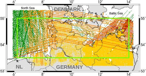
One of the key elements in determining the Earth's gravity field is to further develop the theoretical basis for combining different types of data from different measurement systems. This way the diverse and highly accurate measurements available today can be used in a consistent and rigorous manner. In gravity field determination, DGFI-TUM has a focus on the development of regional gravity field models that are combined using satellite data (from dedicated gravity field missions, satellite laser ranging (SLR) and satellite altimetry) together with terrestrial, airborne, and shipborne gravity field measurements.
Task
Arcisstraße 21
80333 München