Continental Surface Waters
Satellite altimetry, originally developed for observing the sea level, has demonstrated its potential for monitoring inland water levels for many years. Water level variations of lakes, reservoirs and rivers can be monitored with increasing resolution and quality. This information is valuable for water management, flood and drought monitoring, continental hydrology research, and various other applications of socioeconomic and scientific relevance. They also enable the derivation of other hydrological parameters such as storage changes of lakes or river discharges.
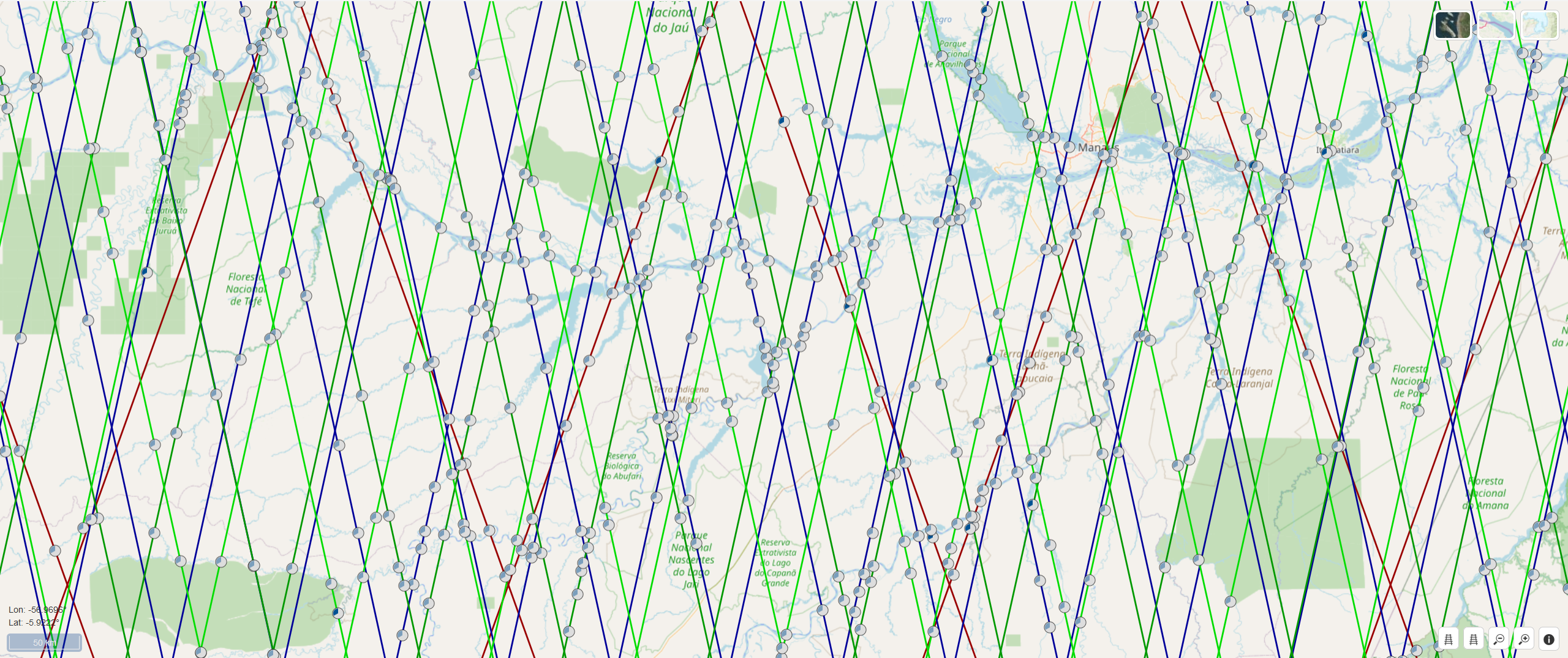
DGFI-TUM is working on new and improved approaches for determining time series of water levels of inland waters and provides the results for several thousand globally distributed targets via its web service DAHTI (Database for Hydrological Time Series of Inland Waters). The results are based on a Kalman filter approach that incorporates cross-calibrated multi-mission satellite altimetry observations and their uncertainties. Of particular relevance in the computation of water levels are the classification and appropriate retracking of altimeter radar echoes (waveforms) as well as the treatment of the so-called hooking effect and the elimination of outliers. Emphasis is also placed on the optimal combination of different altimeter missions (both consecutive and simultaneous) and minimizing the bias between them. The integration of missions on long or non-repeat orbits (such as CryoSat-2) presents a particular challenge, especially over rivers.
In order to reliably quantify the accuracies of the calculated time series, DGFI-TUM is working on methods for error estimation and error propagation, and extensive validation studies are being conducted. In addition to water levels, other hydrological quantities such as storage changes and river discharge are calculated for various hydrological applications using further remote sensing and in-situ observation data and made available via DAHITI.
Tasks:
Arcisstraße 21
80333 München