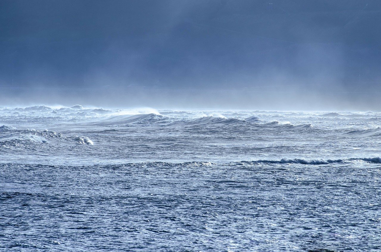
Wave heights in the ocean: A round robin assessment of satellite altimetry retracking algorithms

Satellite altimetry is a key technique for the observation of the world’s oceans. Initially, it has been introduced to determine the ocean surface topography and changes of the sea level by repeatedly measuring the distance between a satellite and the water surface. This distance relates to the round-trip travel time of a radio pulse emitted by the satellite and reflected by the water. But the shape of the radar echo received also enables to study other relevant conditions at the ocean surface, such as significant wave height (SWH) and wind speed. Both of these quantities are related to the sea state, the knowledge of which is essential for numerous applications, e.g. ocean wave monitoring (for fishing or shipping route planning), weather forecasting, or wave climate studies. Information on the sea state is received from the radar echo using an algorithmic approach called retracking.
In the framework of the European Space Agency Sea State Climate Change Initiative (SSCCI) project a competitive exercise (round robin) has been conducted to determine the best retracking algorithm for sea state retrieval. The assessment is focused on the Jason-3 and Sentinel-3A missions, representing the two main satellite altimeter technologies: the so-called "Low Resolution Mode", which encompasses over 25 years of data, and the newest "Delay-Doppler Mode", which exhibits an improved along-satellite-track resolution and signal-to-noise-ratio. 19 retracking algorithms from six international research groups were included in the study. Results showed that all novel retracking algorithms perform better in the majority of the metrics than the baseline algorithms currently used for operational generation of the products. According to an objective weighting scheme that is based on the SSCCI criteria, DGFI-TUM’s retracking algorithms WHALES (Low Resolution Mode) and WHALES-SAR (Delay-Doppler Mode) were ranked second best for all scenarios. Considering coastal scenarios only, WHALES proved the best performance among the Low Resolution Mode retracking algorithms. More details on the study are provided in the publication Round Robin Assessment of Radar Altimeter Low Resolution Mode and Delay-Doppler Retracking Algorithms for Significant Wave Height (Remote Sensing, 2020, doi: 10.3390/rs12081254, [PDF]).
Arcisstraße 21
80333 München