Improved tide modelling in coastal regions
The ability to predict tidal elevations in coastal areas is of crucial importance for society. In certain regions, tidal events combined with extreme meteorological conditions are responsible for severe flooding and consequent environmental issues. Precise ocean tide information is also required to correct satellite observations, e.g. for the accurate determination of sea level changes or gravity field variations. The accuracy of ocean tide models has largely improved over the last decades as a result of the enormous amount of globally distributed sea level measurements from 25 years of satellite altimetry and enhanced data analysis capabilities.
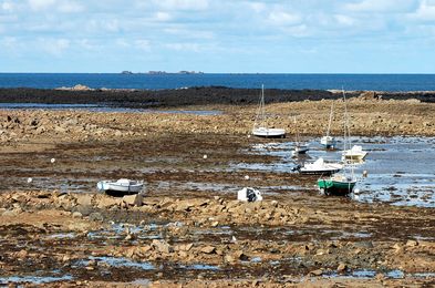
Difficulties still remain in coastal areas where complex tidal conditions exist. Satellite measurements close to the coast are of reduced quantity and characterized by poor quality due to the contamination through land influences. Now, scientists of DGFI-TUM have shown how a dedicated coastal processing of altimetry observations can help to improve tidal modelling. By reprocessing the satellite altimetry observations with the ALES algorithm, precision and accuracy of coastal sea level measurements are significantly improved. A comparison with globally distributed in-situ tide gauge measurements reveals a substantial reduction of errors for distances closer than 20 km from land when using ALES data to compute tidal constituents. Moreover, the absolute differences at single locations feature improvements larger than 2 cm, with an average impact of over 10% for individual tidal constituents. The entire study is described in the open-access publication Coastal Improvements for Tide Models: The Impact of ALES Retracker (Remote Sensing, 2018, DOI:10.3390/rs10050700, [PDF]).
Arcisstraße 21
80333 München