Novel clock technologies for combination on ground and in space: real data and simulation (DFG Research Unit "Clock Metrology", P9)
This project is part of the DFG Research Unit (RU) "Clock Metrology: Time as a New Variable in Geodesy". The RU aims to introduce "time coherence" as a new connecting variable for geodetic measurement techniques in order to measure the Earth accurately in the millimeter range. Within the RU, Project P9 targets to further improve the realization of the International Terrestrial Reference System (ITRS) in terms of accuracy and long-term stability by combining observations from space geodetic techniques, exploiting new clock technologies - based on a common target and a common clock - at the Geodetic Observatory Wettzell (GOW).
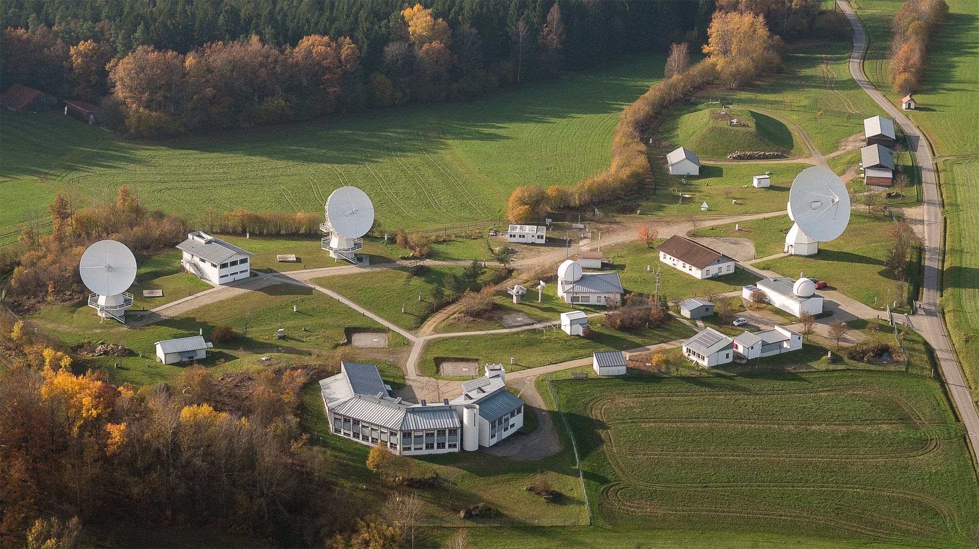
At the GOW, all four techniques important for the ITRS realization are available, namely Very Long Baseline Interferometry (VLBI), Satellite Laser Ranging (SLR), Global Navigation Satellite Systems (GNSS), and Doppler Orbitography and Radiopositioning Integrated by Satellite (DORIS). VLBI, SLR and GNSS are even represented by at least two instruments each, which provides ideal conditions for the research within P9.
The accuracy of current ITRS realizations (the International Terrestrial Reference Frame, ITRF), is limited by remaining systematics in the analysis and combination of space-geodetic techniques that result in inconsistencies between technique-specific subnetworks of the ITRF. These result in current ITRF solutions not meeting the ambitious goals of the Global Geodetic Observing System (GGOS) for high-precision geodetic applications that require millimeter accuracy. One objective of P9 is thus to identify the systematic errors by analyzing and comparing high-accuracy calibration data of the individual instruments obtained using the new clock technologies. Through iterations with the projects P6 and P7 of the RU (the latter also by DGFI-TUM), these systematics can be reduced, and high-accuracy (local) geometrical and clock links between the space-geodetic techniques at the GOW can be established. These allow for a quasi error-free combination of the techniques taking into account station coordinates and clock parameters.
The work is based on GOW observation data and – to demonstrate the benefit of a quasi error-free combination on the ITRF – on simulations of observations from other globally distributed observing stations as well as of observations to potential satellites co-locating different geodetic techniques in space. A further task is to develop theoretical foundations to include observed time differences between observatories as additional observables.
Arcisstraße 21
80333 München