Arctic Ocean Surface Circulation in a Changing Climate and its Possible Impact on Europe (AROCCIE)
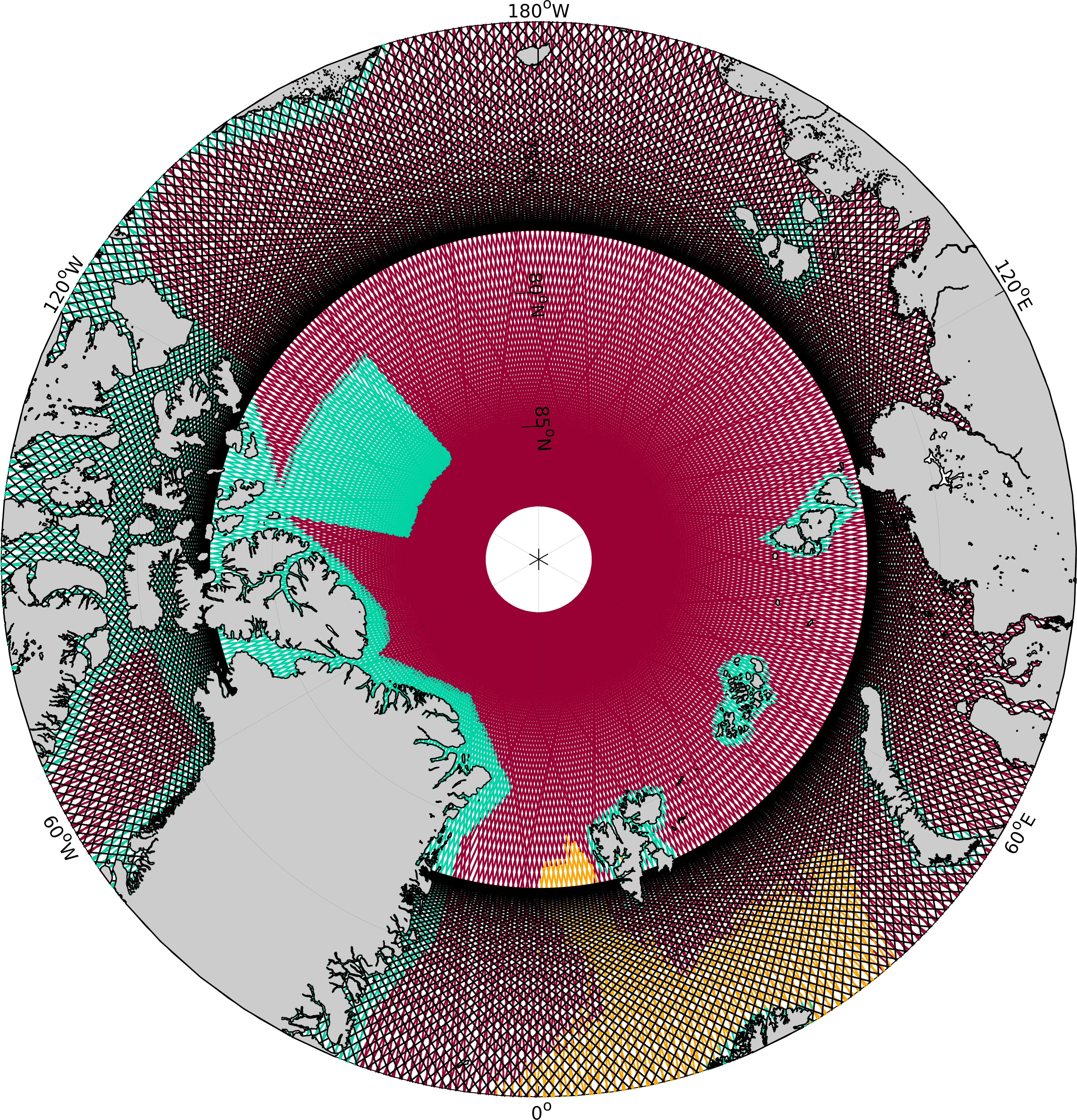
The Arctic Ocean is a hotspot of climate change impacts. These are manifested in decreasing sea ice cover, rising sea level, increasing sea surface temperatures, and changes in ocean circulation. Accurate observation of these changes over decades-long time periods is a prerequisite for understanding the underlying dynamic processes, predicting future developments, and taking appropriate adaptation measures. In this context, satellite altimetry provides valuable information on changes in sea level and geostrophic ocean surface currents. However, under the challenging environmental conditions in the Arctic Ocean, meaningful results rely on careful pre-processing of radar measurements and appropriate handling of missing or biased signals due to sea ice cover and in coastal areas.
AROCCIE (Arctic Ocean Surface Circulation in a Changing Climate and its Possible Impact on Europe) is a joint project of DGFI-TUM and DTU Space and is funded by TUM's International Graduate School of Science and Engineering (IGGSE). The goal of the project is to develop and improve methods for determining geostrophic currents in the Arctic Ocean. The calculations are based on measurements from satellite altimetry in combination with other remote sensing and in-situ observations as well as ocean models. AROCCIE continues the work of the DFG project NEG-OCEAN, in which the basic combination strategy was developed and geostrophic surface currents were determined for a smaller area in the northern Nordic Seas. Improvements will be made with respect to an updated marine gravity model, inclusion of additional altimetry data, and extension to the entire Arctic Ocean. In particular, more altimetry data will be included through the classification of leads in ice-covered ocean regions and the implementation of methods for determining improved sea surface heights in coastal regions. In addition, the project will explore the benefits of new satellite technologies by incorporating data from the CryoSat-2 SARIn and SWOT (Surface Water and Ocean Topography) missions.
Observed sea surface heights from satellite altimetry will be used to determine the Dynamic Ocean Topography (DOT) along the tracks, which will then be converted to geostrophic current velocities using the geostrophic equations. By combining the observed DOT with data from a numerical ocean model the spatial coverage will be extended from locations along the satellite tracks into the area, and data gaps due to sea ice cover will be filled.
AROCCIE will result in a high-resolution long-term data set of geostrophic surface velocities of the Arctic Ocean. As part of the project, the data set will be analysed with respect to changes in the direction and strength of the geostrophic currents over the past two decades, related to the influence of wind stress and freshwater inflow. The project also includes the analysis of potential impacts of the detected changes in surface currents on the climate in Europe.
Arcisstraße 21
80333 München