Coastal Ocean and Inland Water Altimetry (HYDROCOASTAL)
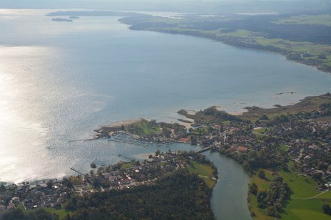
HYDROCOASTAL is an ESA-funded project aimed at maximizing the exploitation of SAR and SARin altimeter measurements in the coastal zone and inland waters, by evaluating and implementing new approaches to process SAR and SARin data from CryoSat-2, and SAR altimeter data from Sentinel-3A and Sentinel-3B.
Within the project, new SAR and SARIn processing algorithms for the coastal zone and inland waters will be developed, implemented and evaluated through an initial test data set for selected regions. From the results of this evaluation a processing scheme will be implemented to generate global coastal zone and river discharge data sets. Case studies will assess these products in terms of their scientific impacts.
DGFI-TUM contributes to the algorithm development for coastal zones by its ALES+SAR retracker. Moreover, DGFI-TUM assesses the performance of the project’s inland water level time series by a validation with independent in-situ data and by a comparison with time series from DGFI-TUM's Database for Hydrological Time Series of Inland Waters (DAHITI).
The scientific objectives of HYDROCOASTAL are to enhance our understanding of interactions between inland water and coastal zone, between coastal zone and open ocean, and small-scale processes that govern these interactions. Also the project aims to improve our capability to characterise the variation of inland water storage, exchanges with the ocean and the impact on regional sea level changes at different time scales.
More information about the project and the collaboration partners can be found on ESA's project website.
Arcisstraße 21
80333 München