Sea State
By analyzing the altimeter radar echo, it is possible to derive information not only about the sea surface height, but also about the significant wave height (SWH). SWH is a parameter that describes the sea state, i.e. the state of the ocean due to the action of wind waves and swell.
DGFI-TUM is working on the development and improvement of novel retracking algorithms for estimating SWH parameters, which allow for increased signal-to-noise ratio and better performance in coastal environments. In addition, there is a focus on estimating and using consistent climate-relevant time series of SWH across different satellite missions and validating the results derived from altimetry with in-situ measurements and models.
Related project
Selected Publications
Passaro M., Hemer M., Quartly G.D., Schwatke C., Dettmering D., Seitz F.: Global coastal attenuation of wind-waves observed with radar altimetry. Nature Communications, 12, 3812, 10.1038/s41467-021-23982-4, 2021
 (Open Access)
(Open Access)
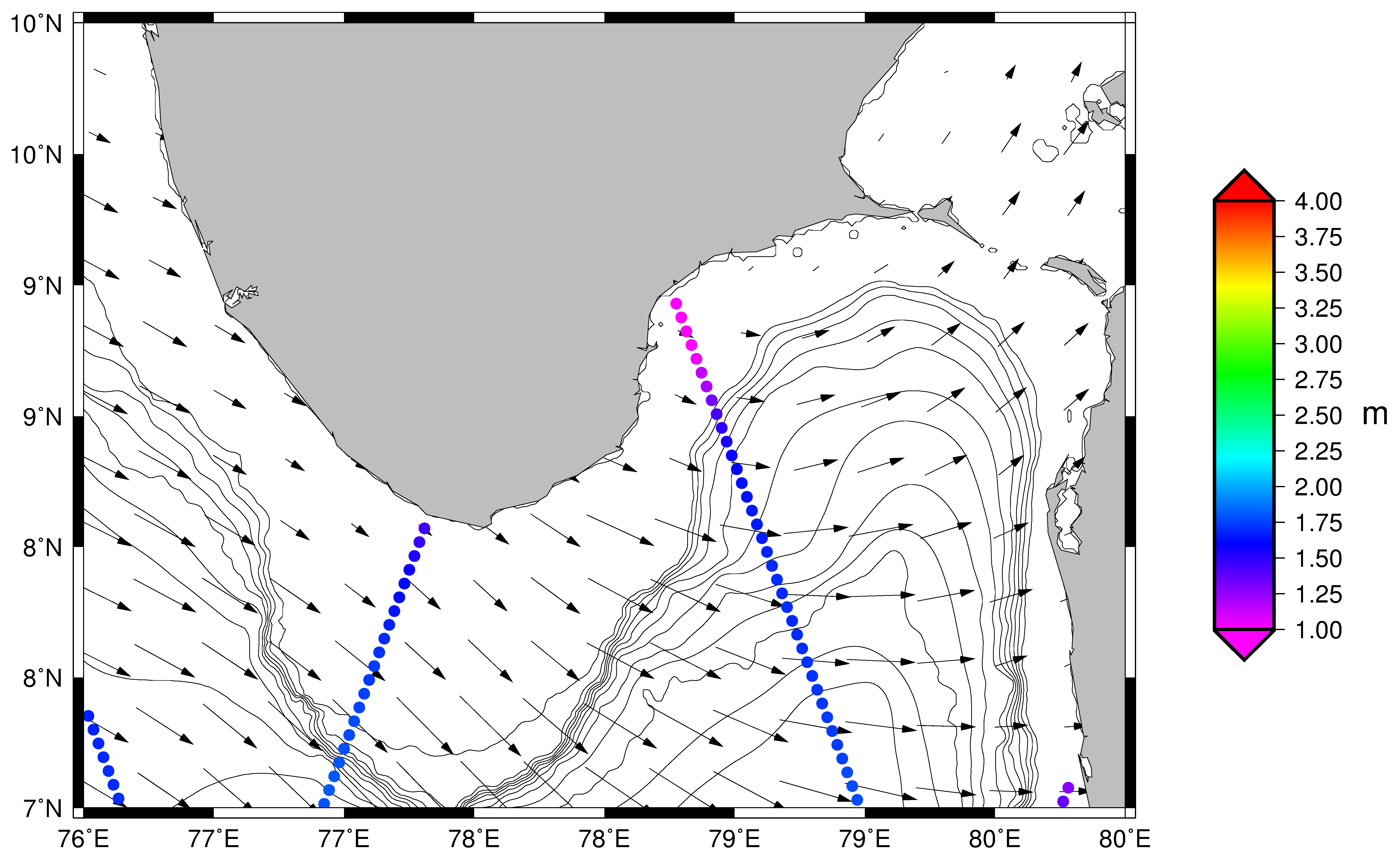
Violante-Carvalho N., Arruda W.Z., Carvalho L.M., Rogers W. E., Passaro M.: Diffraction of irregular ocean waves measured by altimeter in the lee of islands. Remote Sensing of Environment, 265, 112653, 10.1016/j.rse.2021.112653, 2021
Schlembach F., Passaro M., Quartly G.D., Kurekin A., Nencioli F., Dodet G., Piollé J.-F., Ardhuin F., Bidlot J., Schwatke C., Seitz F., Cipollini P., Donlon C.: Round Robin Assessment of Radar Altimeter Low Resolution Mode and Delay-Doppler Retracking Algorithms for Significant Wave Height. Remote Sensing, 12(8), 1254, 10.3390/rs12081254, 2020
(Open Access)
(Open Access)
Dodet G., Piolle, J.-F., Quilfen Y., Abdalla S., Accensi M., Ardhuin F., Ash E., Bidlot J.-R., Gommenginger C., Marechal G., Passaro M., Quartly G., Stopa J., Timmermans B., Young I., Cipollini P., Donlon C.: The Sea State CCI dataset v1: towards a sea state climate data record based on satellite observations. Earth System Science Data, 12(3), 1929-1951, 10.5194/essd-12-1929-2020, 2020
(Open Access)
(Open Access)
Ardhuin F., Stopa J.E., Chapron B., Collard F., Husson R., Jensen R.E., Johannessen J., Mouche A., Passaro M., Quartly G.D., Swail V., Young I.: Observing Sea States. Frontiers in Marine Science, 10.3389/fmars.2019.00124, 2019
(Open Access)
(Open Access)
Deutsches Geodätisches Forschungsinstitut
Prof. Dr.-Ing. habil. Florian Seitz
Technische Universität München
Arcisstraße 21
80333 München
Arcisstraße 21
80333 München